

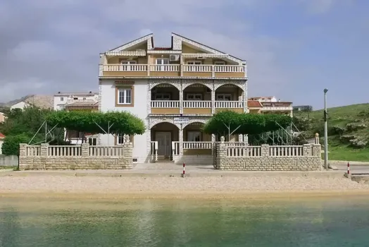
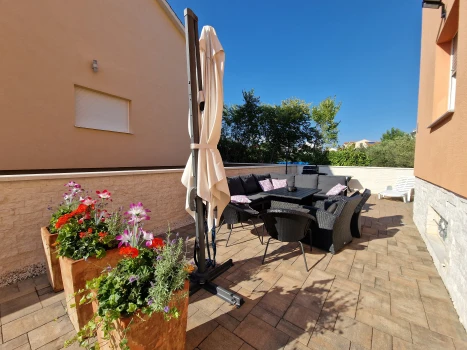
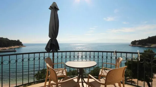
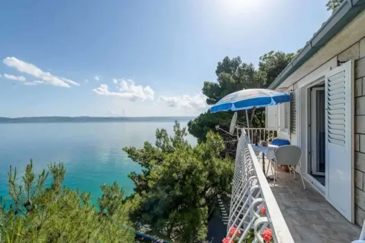
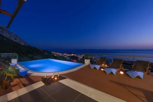
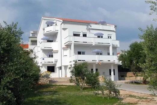
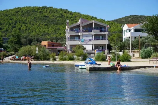
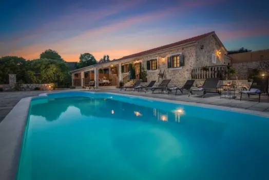
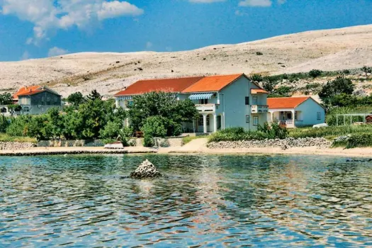
Apartments Kustić
Pag - Metajna,
HR
Price
on request
Complete guide to tourist attractions in Croatia. Discover, explore and visit natural and cultural sights, events and points of interest, and spend an unforgettable vacation in Croatia! Top 10 reasons to visit Croatia!
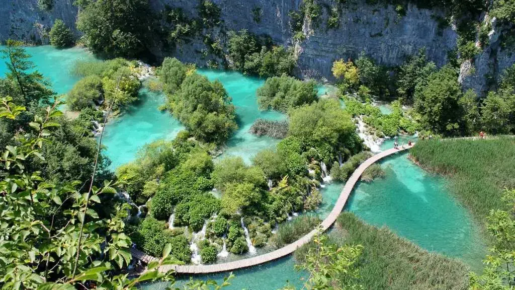
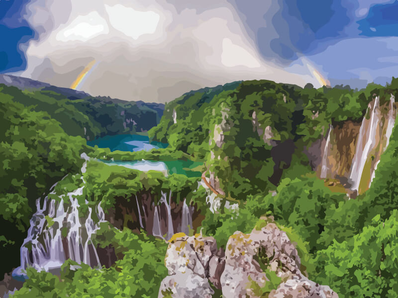
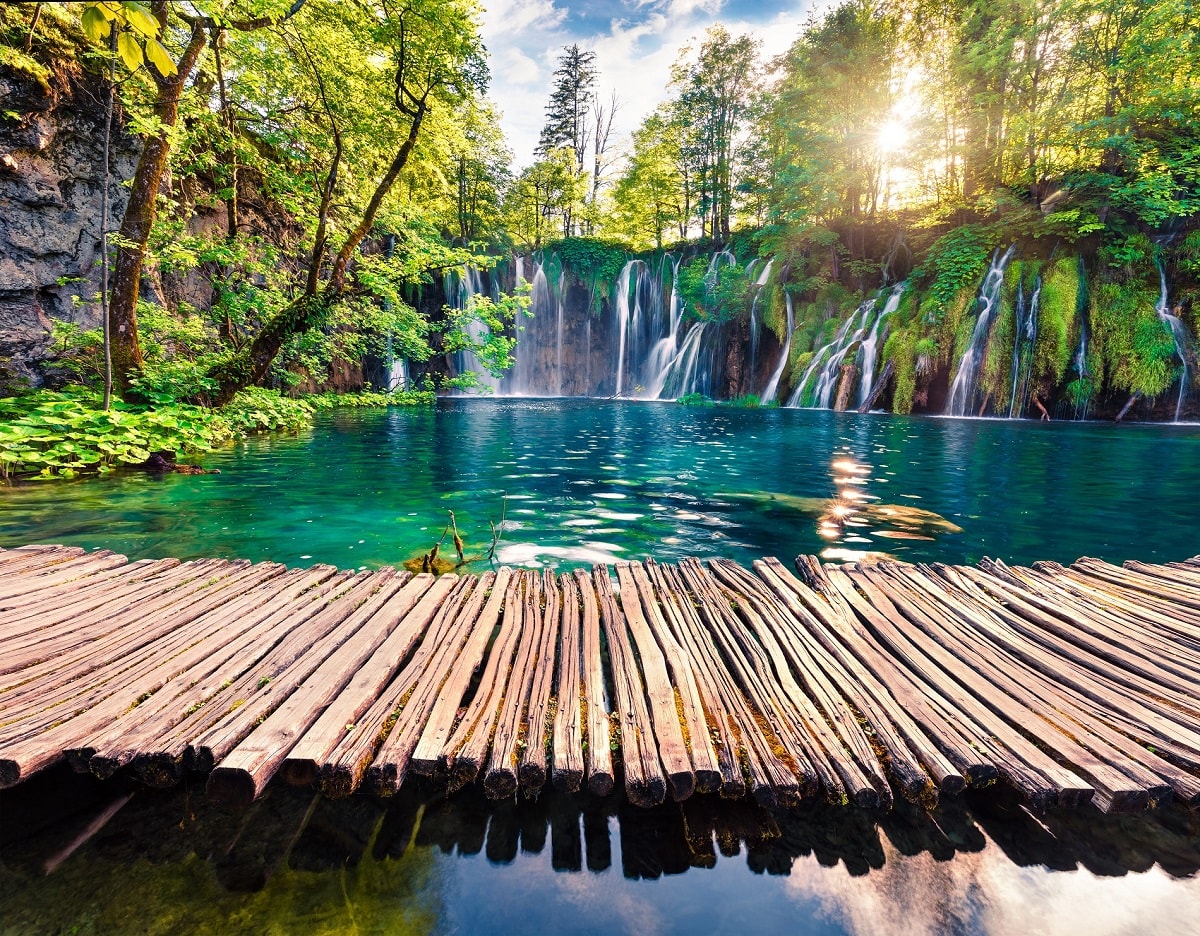
Plitvice lakes
Plitvice lakes is the oldest and most famous national park in Croatia, consisting of 16 connected lakes that cascade down the cliffs and hills towards the spectacular waterfall Sastavci. The impressive waterfall Sastavci is almost 70 meters high and Korana river starts flowing from it. National park...
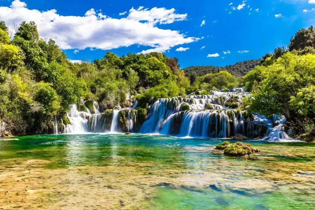
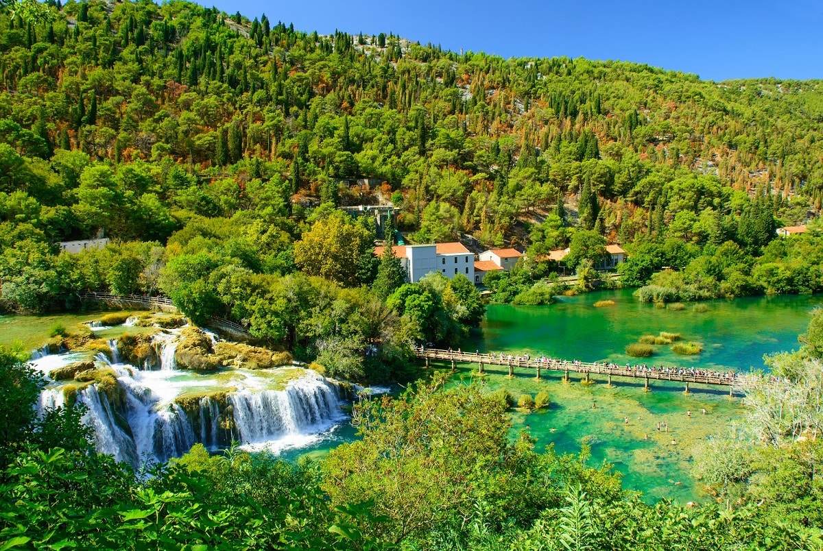
Skradin
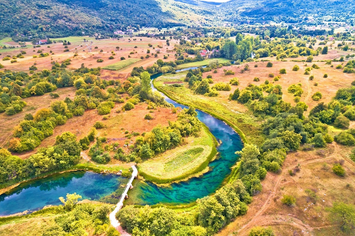
River Krka source is in Dinara mountain near Knin and flows into the Adriatic Sea near Sibenik. Krka is a natural karst phenomenon because it builds 7 travertine barriers, waterfalls, from which is certainly the most impressive and the most famous Skradinski Buk. It is 400 meters wide and 50 meters...
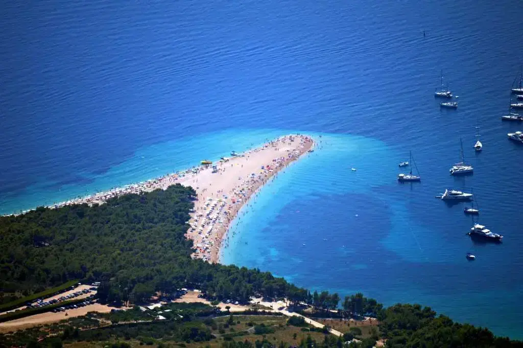
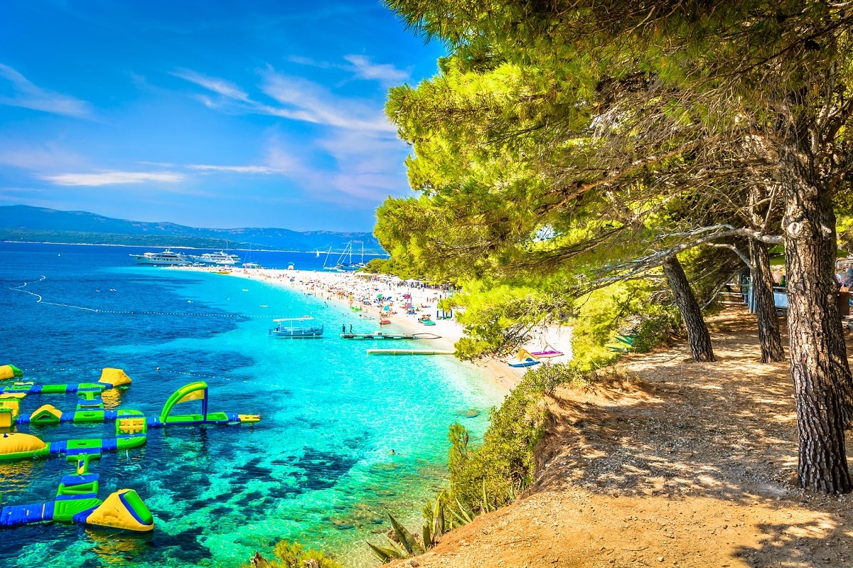
Brač - Bol
One of the most famous beaches in Croatia and Europe is certainly Zlatni Rat on the island of Brač. Due to its unique appearance and beauty, sandy beach Zlatni Rat is one of the symbols of Croatia. The beach is located on the southern part of the island of Brač, in the town of Bol. Zlatni Rat is for...
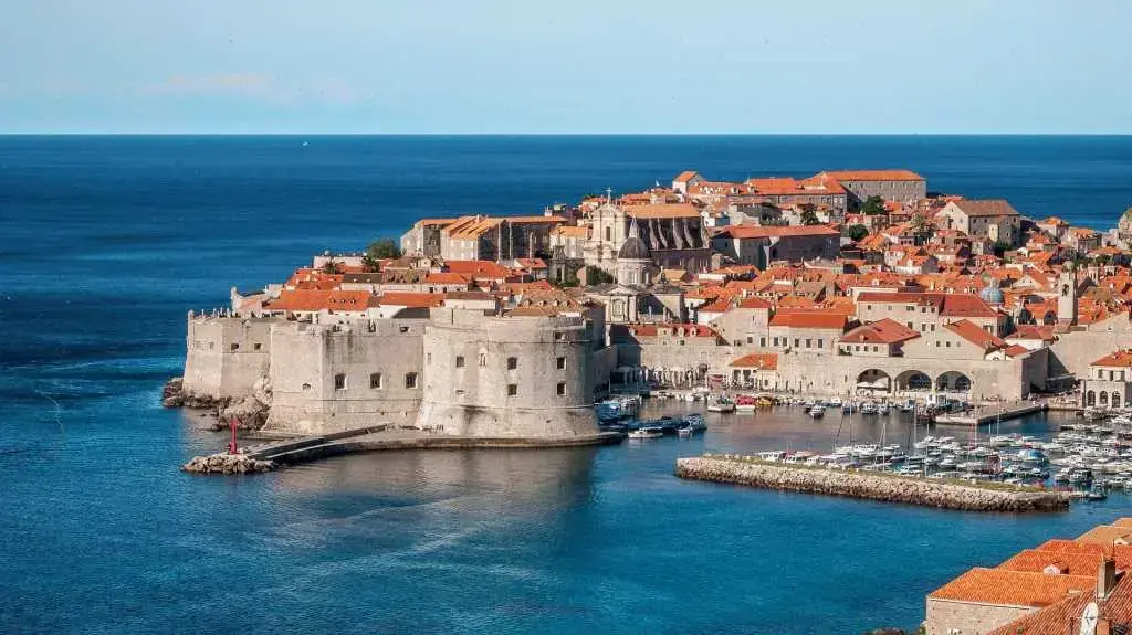
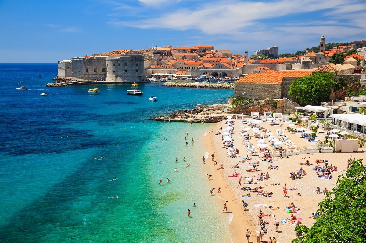
Dubrovnik
The city of Dubrovnik is one of the greatest pearls of the Adriatic and Mediterranean, so it is no wonder that, due to preservation, beauty and age, the city walls of Dubrovnik and the old town core have been included on the UNESCO World Heritage List. The symbol of the city are the walls built in t...
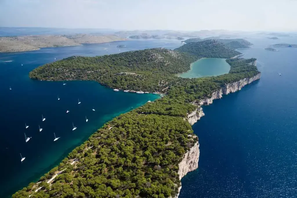
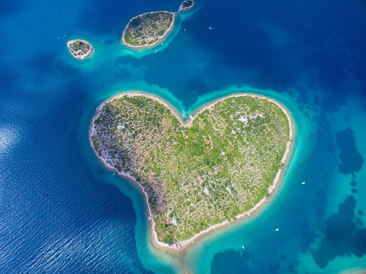
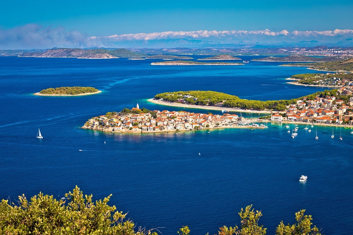
Dugi otok
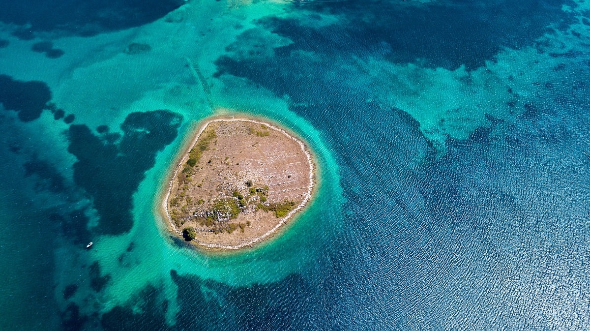
One of the most attractive nature parks in Croatia is located on Dugi otok - nature park Telašćica. The nature park consists of Telašćica bay, archipelago, 13 islands and 6 islets. The park area covers about 70 km2. The nature park is rich in flora and fauna, geological phenomena and the underwater...
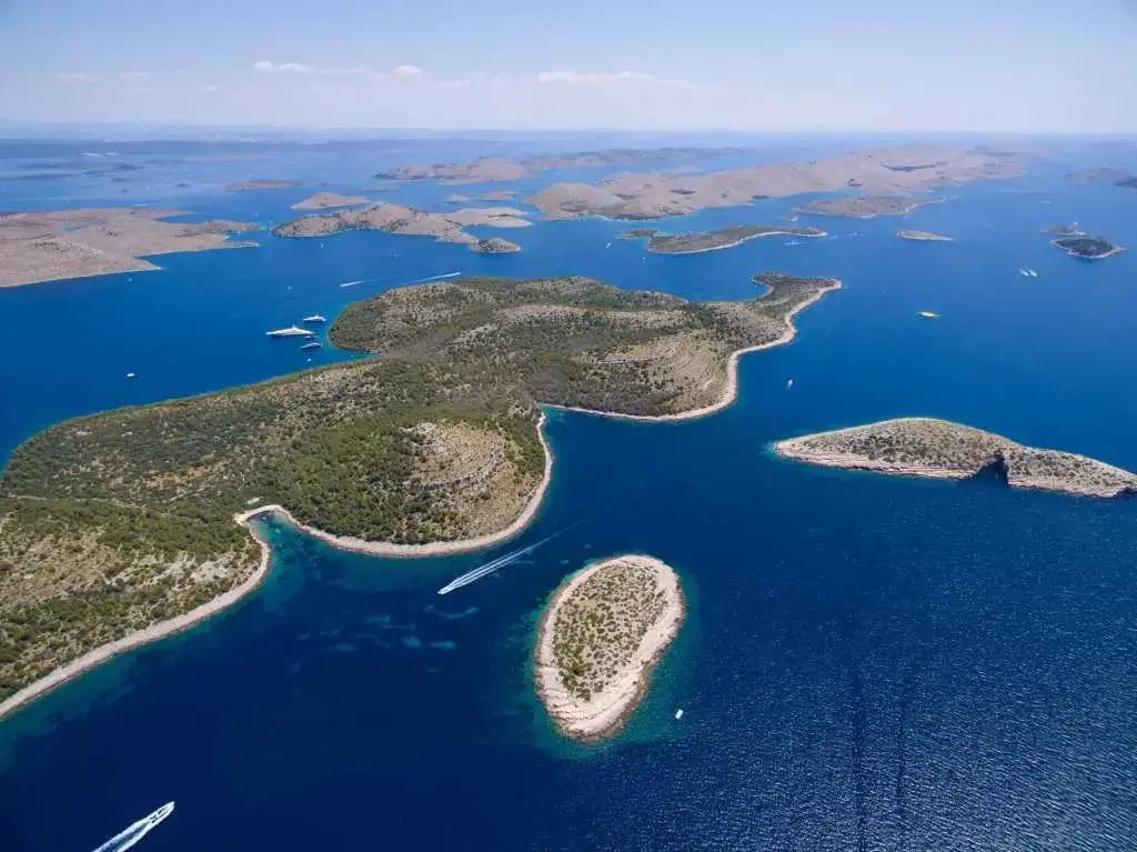
Kornati
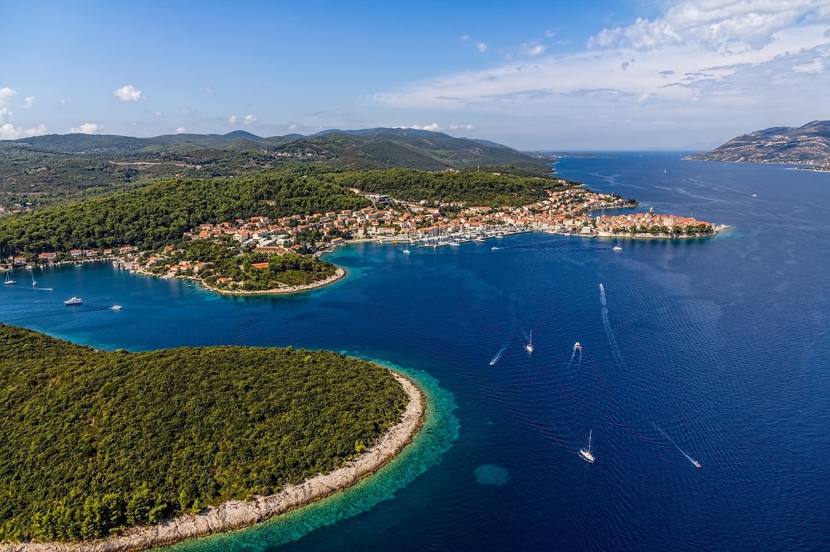
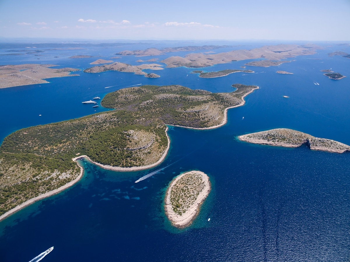
Kornati islands are the densest archipelago in the entire Mediterranean Sea. So many islands are located in such a small area. More precisely, about 140 islands have been scattered on a surface of 320 km2. The Kornati is located in central Dalmatia, west of Šibenik, within the Šibenik-Knin County, a...
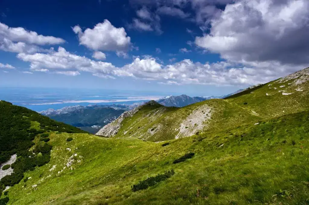
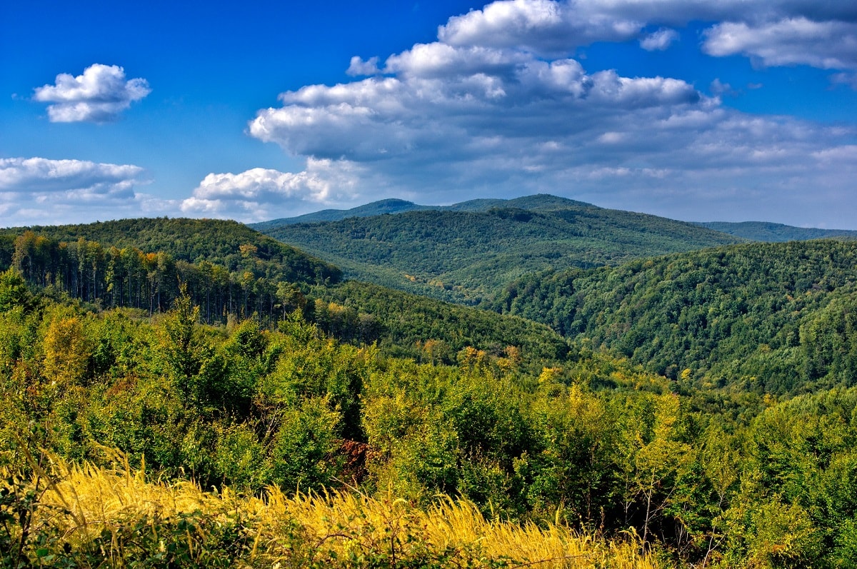
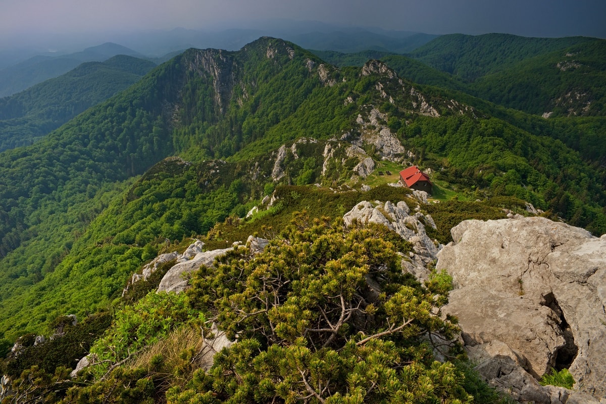
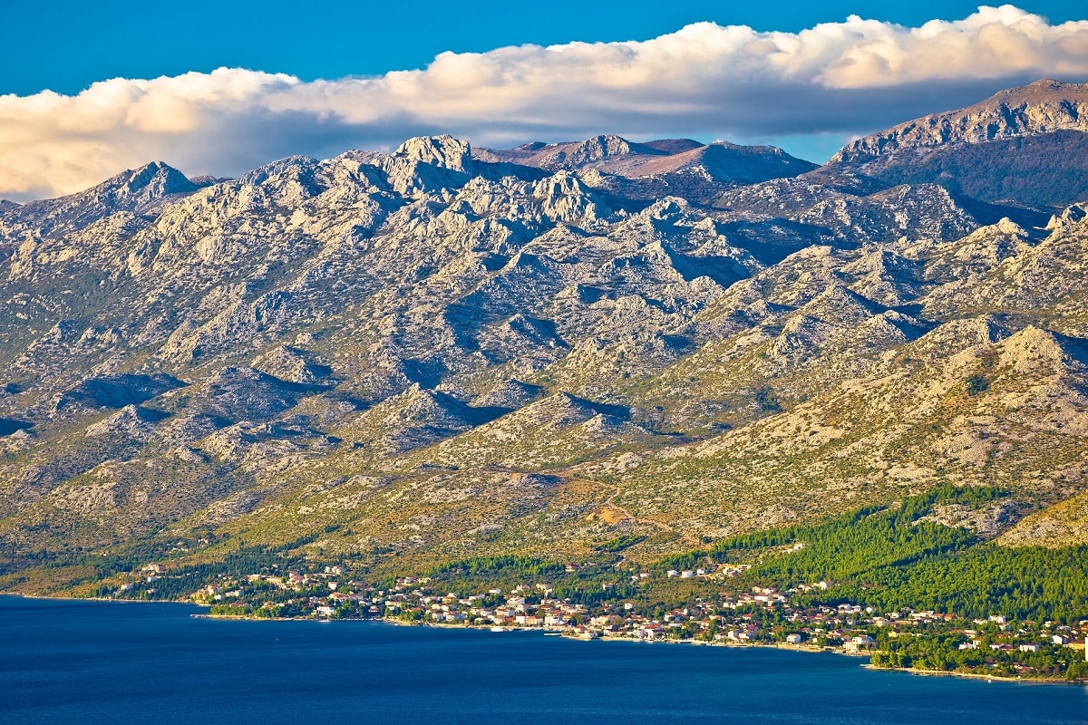
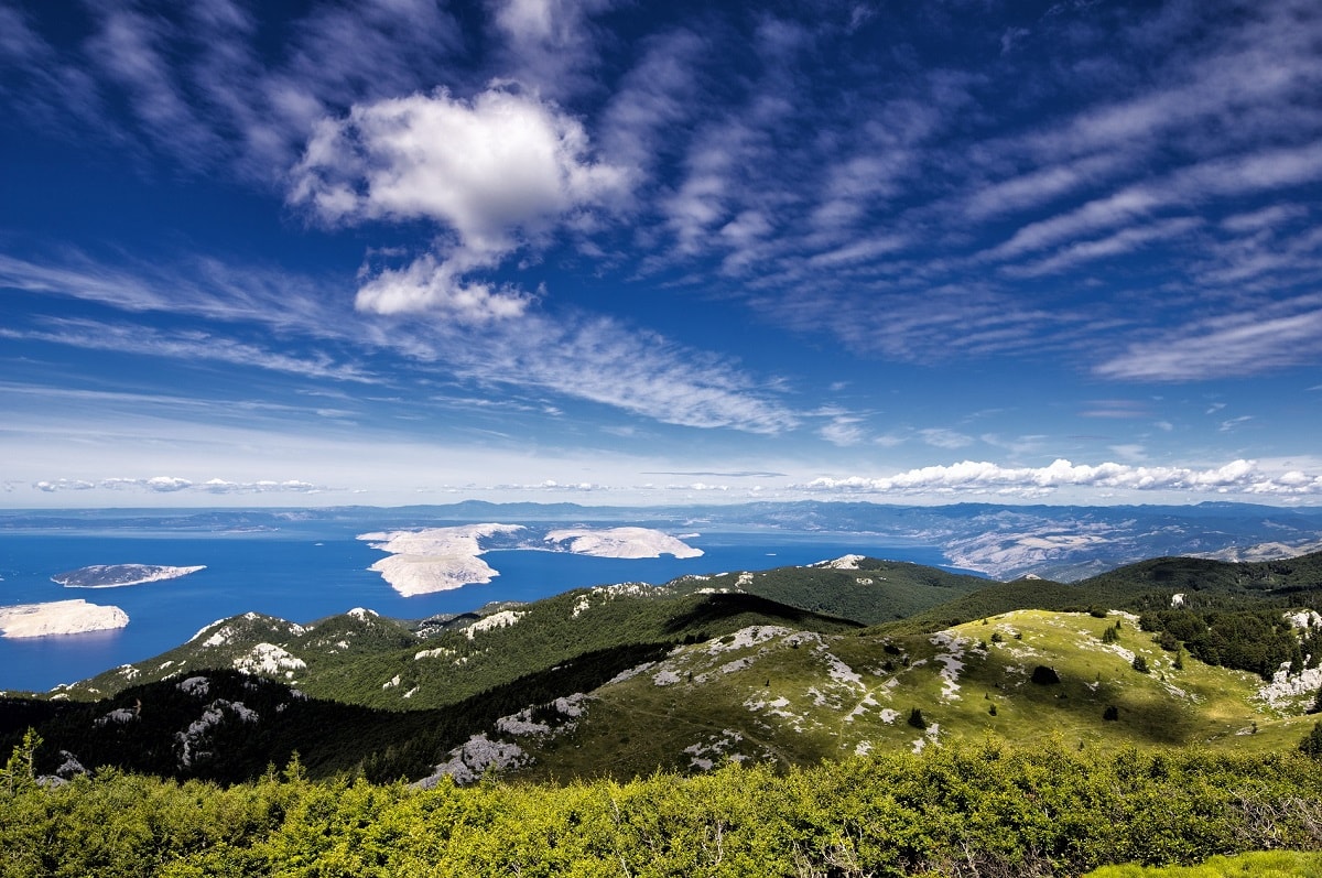
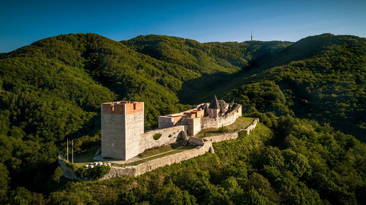
Gospić
The impressive Velebit mountain is the longest and largest mountain in Croatia, rich in flora and fauna, so it is no wonder that it has 2 national parks - national park Northern Velebit and national park Paklenica. Velebit mountain extends 150 kilometers from Senj (north) to Zrmanja river (south). T...
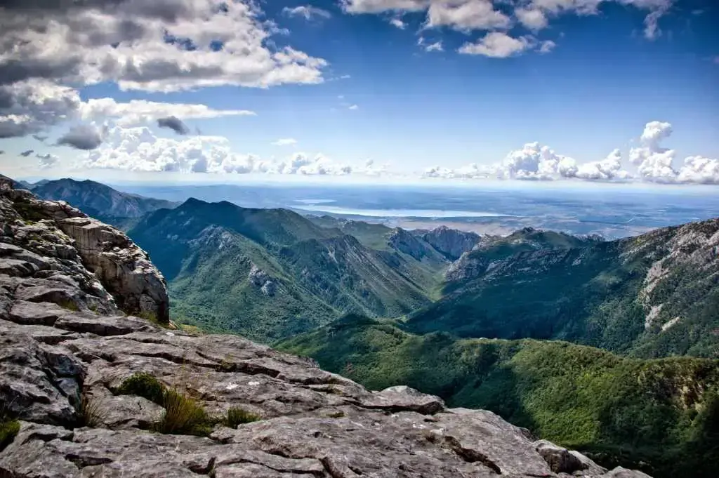
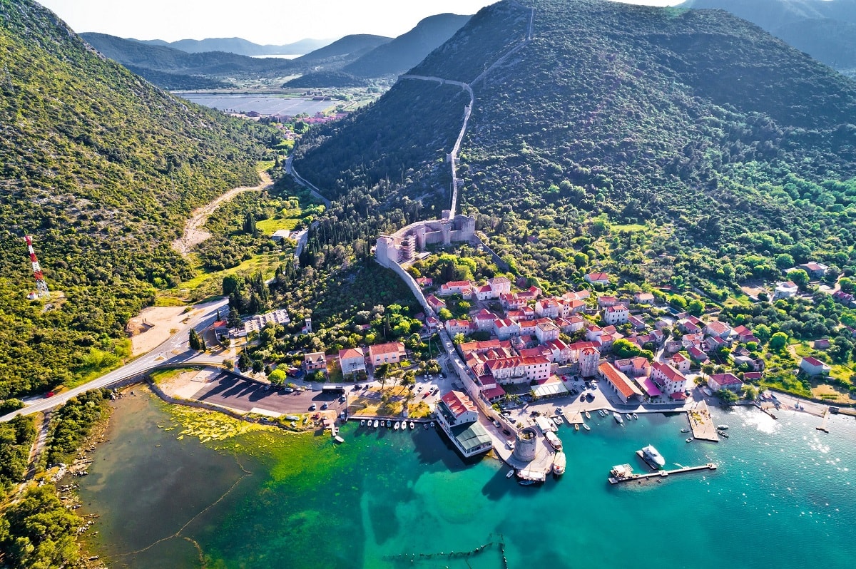
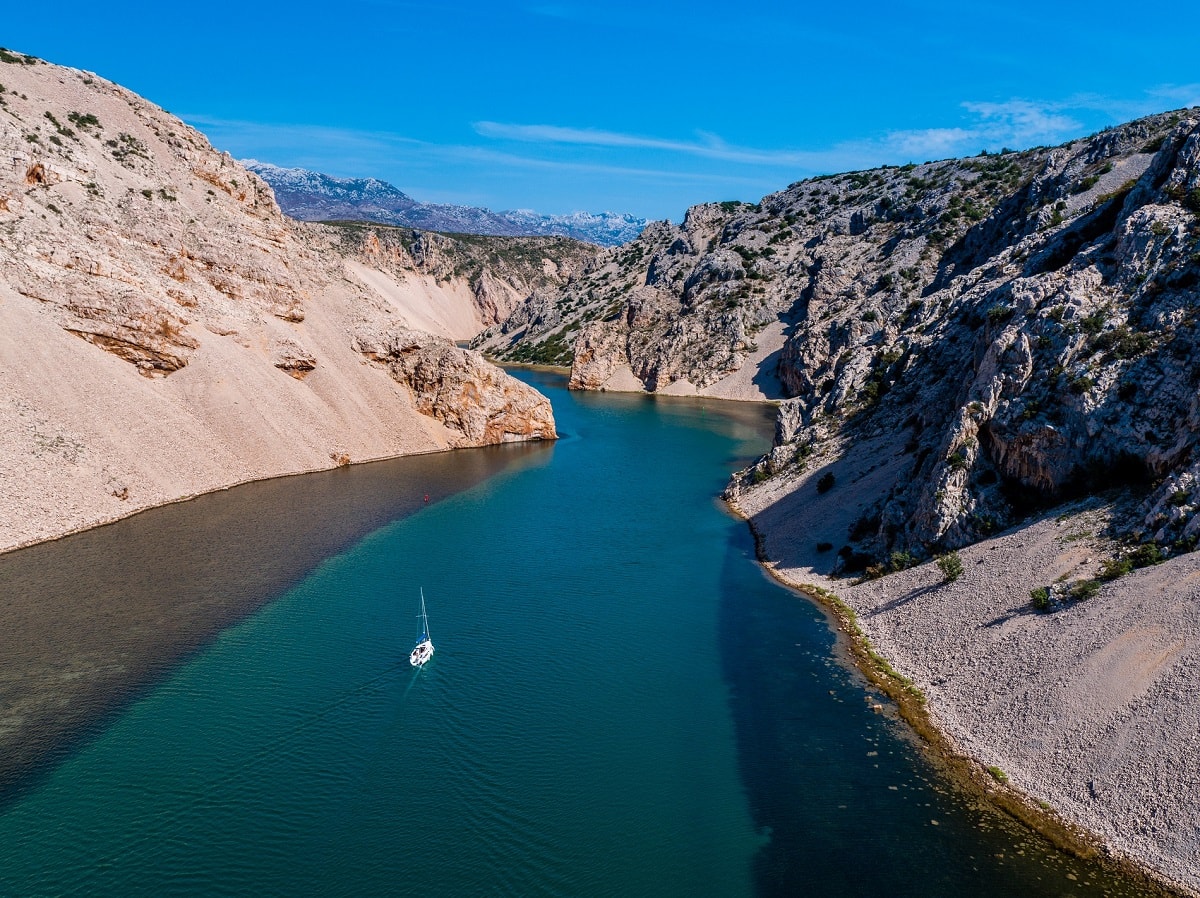
Starigrad-Paklenica
Due to the unique geomorphological forms and dense forests, Velika Paklenica and Mala Paklenica have been declared a national park in 1949, making Paklenica the second national park in Croatia (after Plitvice lakes). The national park covers an area of 96 km2. The highest peaks of the national par...
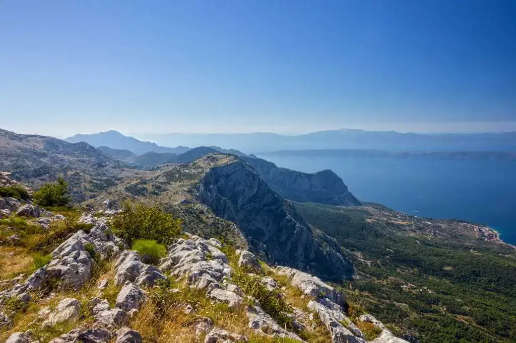
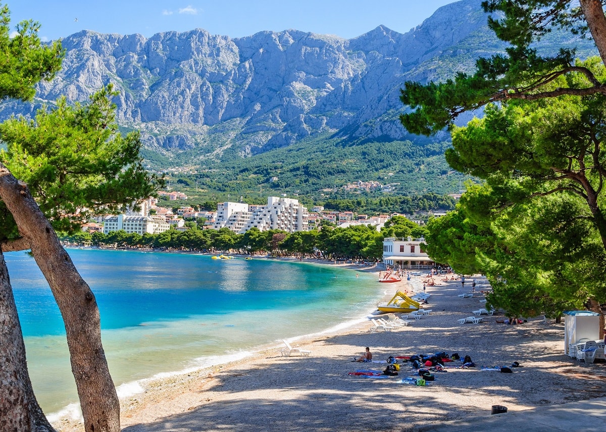
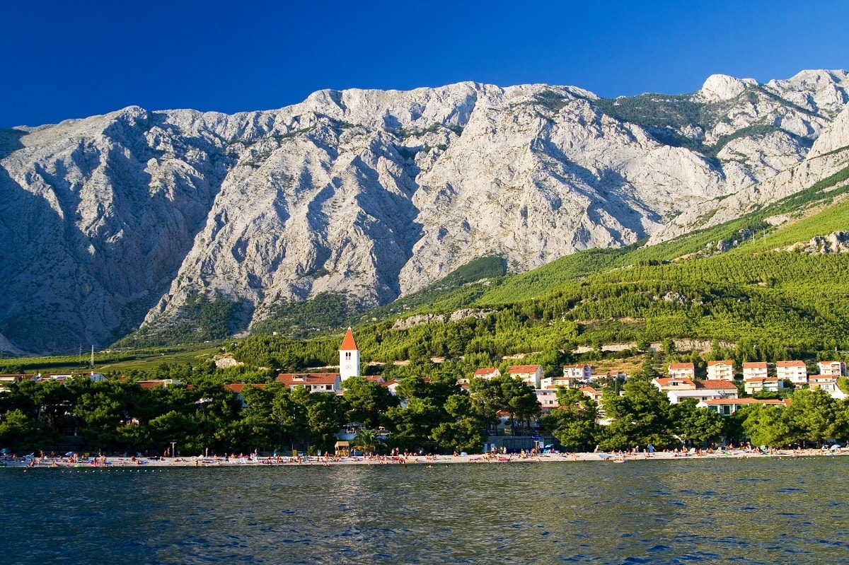
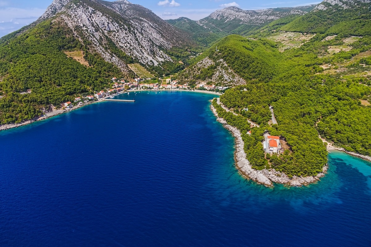
Makarska
Biokovo nature park is, by many, one of the most attractive nature parks in Croatia. Biokovo nature park stretches 30 km above Makarska riviera, and it covers almost entire Biokovo mountain (part of Dinaric mountains), characterized by high steep cliffs rising above Makarska riviera. St. Jure is the...
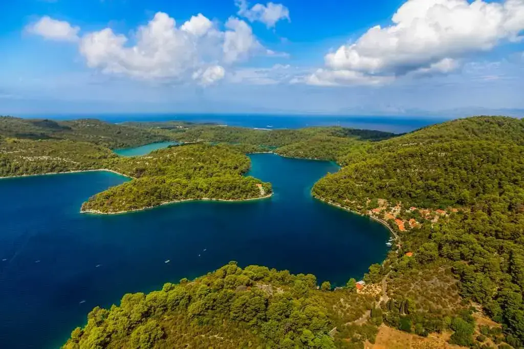
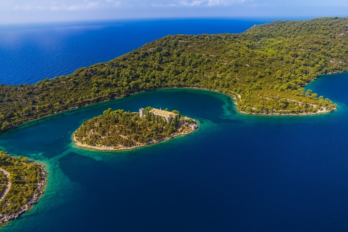
Mljet
Mljet national park is located in the northwestern part of the island of Mljet, and it covers an area of 54 km2 of protected land, sea belt, islets, and rocks. It became a national park in 1960 because of unspoiled nature, cultural and historical heritage, flora, indented coast, cliffs, islets, an...
Why visit Croatia?
Our recommendation
Where to go, stay and what to do?